Check back soon
Once posts are published, you’ll see them here.

By Jennifer Winnard-Sivill

The Holderness Coastline
The Holderness coastline is located on the East coast of England extending at a distance of 61km, from the headland at Flamborough head in the North to Spurn head in the south.
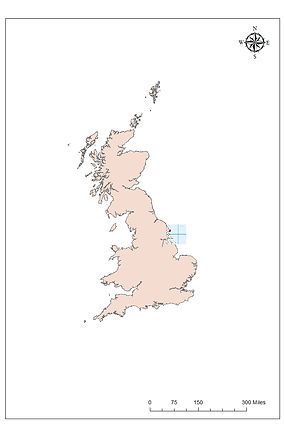
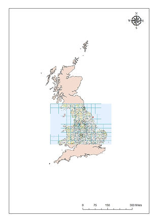
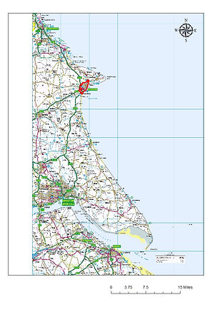
Figure 1 to 3: Left to right
Figure 1 displays a ordnance survey map within the UK displaying the Holderness coast in red.
Figure 2 in the centre, displays the Holderness coastline in the UK with a red boundary around the focus site of Bridlington.
Figure 3 in the far right of the page displays the holderness coastline with a census boundary around Bridlington.
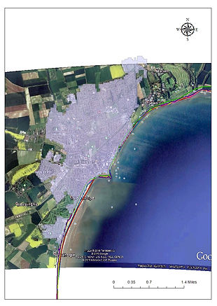
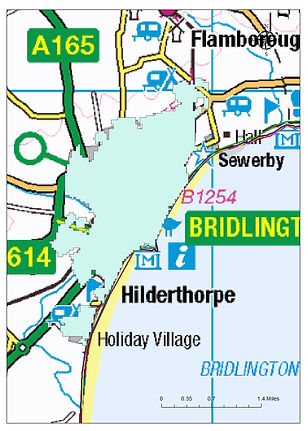
Figure 4 and 5 to display to focus site of Bridlington along the Holderness coastline.
The Holderness coastline is “one of the most vulnerable coastlines in the world” (Sistermans, ) as the coastline erodes and retreats at an average rate of “1 to 2 metres every year due to the geology” (Vane, 2016). The geology of the coastline runs in bands, from the most northern point of the coastline at Flamborough head, layered with chalk, followed by “boulder clay or till” (Geography.learnontheinternet.co.uk, 2016) at the bay running south from Bridlington to just south of Withernsea, finishing off with river deposits at the Humber Estuary at Spurn Head. Along the Holderness coastline erosion rates vary with the 3 main rock types, dependant on the resistance.
Resistance is defined as the ability of the geology to “withstand erosion” (Crowell and Leatherman, 1999), identifying that the more resistant rock such as the chalk headland have the ability to withstand erosion compared to less resistant rock of boulder clay which is majorly influenced by erosion causing the coastline to retreat.