top of page

Erosion of the Holderness coastline
By Jennifer Winnard-Sivill

1846


Figure displaying the Holderness coast in 1846.
1888


Figure to display the Holderness coastline at Bridlington in 1888.
1903-1950

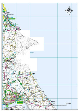
Figure to display the coastline at 1903 to 1950.
1922


Figure to present the coastline in 1922 and the land.
1948
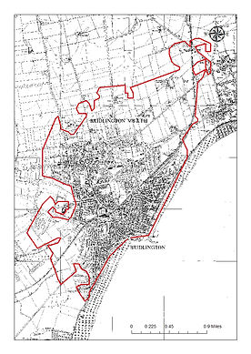
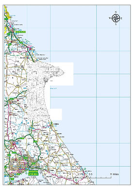
Figure displaying the land and the coastline at Bridlington with the whole of the Holderness coastline in 1948.
Coastline at the present day
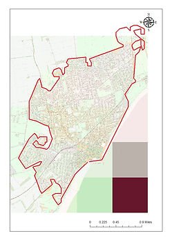

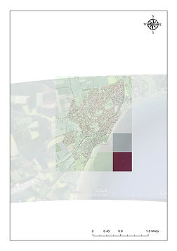
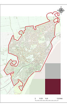
Figure to show a range of different maps to display the coastline at the present day.
bottom of page